

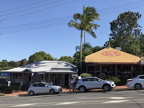

Maleny
Mountain biking town · Australia
Mountain biking, 6 nights from tomorrow, from your nearest start point: scored, planned and costed. Try another search
Beds: 23 places
23 places to stay within 2 km, 1 of them campsites.
 Budget 2-star · Booking.com£100 a night
 Mid-range 3-star · Booking.com£120 a night
 Luxury 4-star · Booking.com£155 a night
Prices are our estimate of the country's average double room of each kind that month: not this town's price, and not a quote.
Room photos are examples, not these hotels (credits).
All 23 places to stay · Booking.comSpots near here: 4 mountain bike areas
Mountain biking · this week
Bellthorpe Loop · 17.6 km · stays here
88 out of 100Dularcha Loop · 14.1 km · stays here
88 out of 100Wamuran Loop Trail · 28.2 km · stays here
87 out of 100Glass House Mountains Loop · 19.3 km · stays here
85 out of 100
Each score is the next week's out of 100, the mean of its best days, as on its own page. Green clears the bar. Distances are from the middle of Maleny.
Map
the town and every place near it
Each place is ringed by its best day this week: green good, amber fair, pale red poor, as the key says. The dashed circle is 30 km from Maleny.
The map needs JavaScript. Every place on it is listed on this page, and each place's page links to Google Maps.
One finger scrolls the page; two fingers move the map. Pins are our own positions. Map OpenFreeMap, © OpenMapTiles, data © OpenStreetMap contributors.
Photos of Maleny
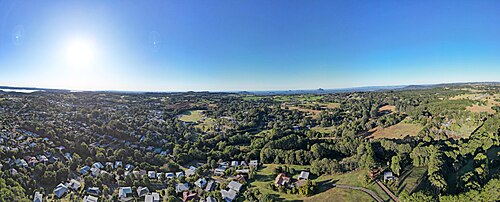

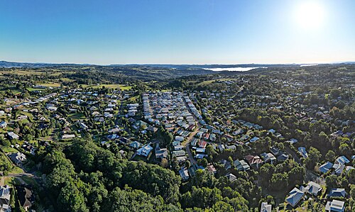

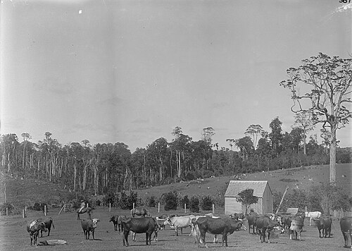

About Maleny
where it is, what is near
Maleny is a town in Australia.
From Maleny you can reach 4 mountain bike areas.
The nearest is Dularcha Loop, a mountain bike area 14 km from the centre.
Overture lists 23 places to stay within 2 km of the centre, 1 of them campsites.
The nearest airport is Sunshine Coast Airport (MCY), 30 km away.
In Australia
- 23 places to stay within 2 km of the centre, 1 of them campsites (Overture places)
- Nearest airports: Sunshine Coast Airport (MCY), 30 km, Brisbane International Airport (BNE), 74 km, Toowoomba Wellcamp Airport (WTB), 137 km
Forecast updated . Forecast data: ECMWF, DWD, Météo-France and NOAA, served by Open-Meteo.com (CC BY 4.0). Changed by us. Generated using E.U. Copernicus Marine Service Information.
Scores are the conditions only: the journey, the price and the partners never change them (how we score, how we earn).